

Vermont’s Mud Season Hikes
Mud Season-Safe Hikes Statewide
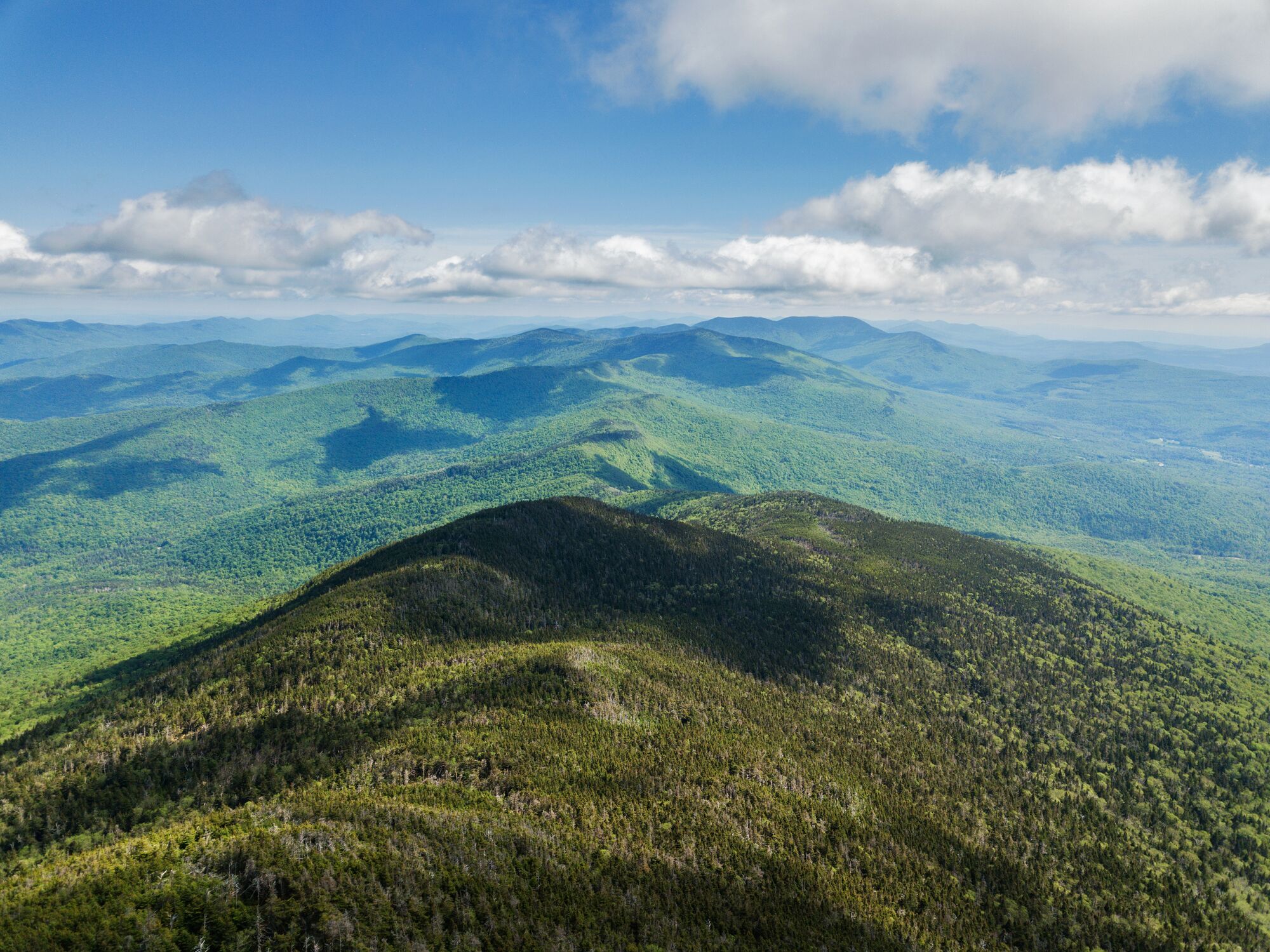
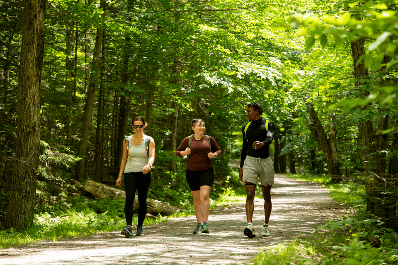
Bright sunshine and warmer days beckon as spring brings birdsong and buds on trees. When snow melts, trails get muddy, and hiking through or around wet areas can damage the land and the ecosystem. Protecting Vermont’s trails and fragile alpine areas is everyone’s responsibility, so when you’re tempted to hit the trails, keep trail stewardship in mind. Low-elevation trails dry out sooner, so they’re better options in early spring, as are Vermont’s paved paths and rail trails. As spring progresses and more trails open, hikers can venture higher. Remember that conditions can change with elevation, and a warm day near the base of the trail can turn cold and even snowy or icy near the top, so waterproof footwear and gators can be helpful as you get out there.
Mud Season Hiking Guidelines
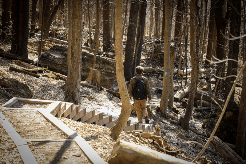
- If a trail is so muddy that you need to walk on the vegetation beside it, turn back and seek another place to hike.
- Plan spring hikes in hardwood forests at lower elevations.
- Avoid spruce-fir (conifer) forest at higher elevations and on north slopes before late May and from the end of October until frozen or snow covered.
- Camels Hump and Mt Mansfield trails are closed from April 15 through the Friday of Memorial Day Weekend. Please do not hike here. Stay below 3000 ft during these times of year.
Mud Season-Safe Hikes Statewide
Champlain Islands
- Alburgh Recreation Trail – Alburgh
Champlain Valley
- Button Bay State Park – Ferrisburgh
- Robert Frost Interpretive Trail – Ripton
- Trail Around Middlebury (TAM) – Middlebury
Greater Burlington
- Mallets Bay Causeway – Colchester
- Mt. Philo State Park, roads to summit – Charlotte
Lower Connecticut River Valley
- Mt. Ascutney State Park Parkway (after mid April, when the ice has melted) – Windsor
- Myron Dutton Memorial Loop Trail, Dutton Pines State Park – Dummerston
- Pinnacle Trail, Wilgus State Park – Springfield
- Sunrise and Sunset Trails, Fort Dummer State Park – Guilford
Northeast Kingdom
- Burke Fire Road (CCC Road) and Toll Road – Burke
- CCC Road in Willoughby State Forest – Sutton
- Lyndon State Forest Trails – Lyndonville
Northwest Vermont
- Missisquoi Valley Rail Trail – St. Albans
Okemo Valley
- West River Trail – South Londonderry
Stone valley
- Bomoseen State Park – Bomoseen
- Liberty Hill Contest Trails – Pittsfield
The Shires
- Emerald Lake State Park – East Dorset
- Woodford State Park Trails – Woodford
Upper Green Mountains
- The Austin Brook Trail – Warren/Granville
- Cotton Brook Road – Moscow/Stowe
- Cambridge Greenway Recreation Path – Jeffersonville
- Dalley Loop Trail, Little River State Park – Waterbury
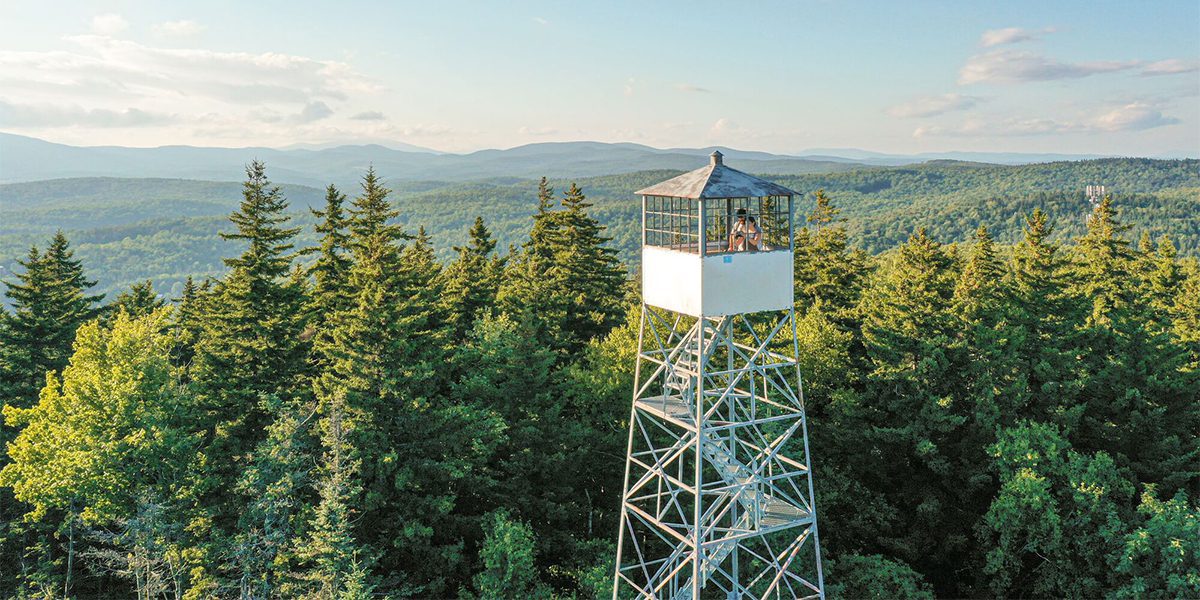
- Elmore Fire Tower Trail (Forestry Road section), Elmore State Park – Elmore
- Pinnacle Meadow Trail (up to the Pinnacle Meadow Vista), C.C. Putnam State Forest – Stowe
- Stowe Recreation Path – Stowe
- Universally Accessible Peninsula Trail, Waterbury Center State Park – Waterbury
- Universally Accessible Camp Smith Loop Trail, Little River State Park – Waterbury
White River Valley
- Thresher Hill/Pine Brook Trails – Rochester
Multiple Regions
- The Cross VT Trail – runs west to east across VT
The following trails typically open midway through mud season:
- Anglers’ Trail, Little River State Park – Waterbury
- Mill Trail to Bingham Falls, Smugglers’ Notch State Park – Stowe
- Moss Glen Falls Trail, C.C. Putnam State Forest – Stowe
- Nature Trail, Elmore State Park – Elmore
- Stevenson Brook, Little River State Park – Waterbury
Check trail status as you plan your hike, and obey all signage.