
7 Seasonal Scenic Drives in Vermont
Driving a scenic road in Vermont takes travelers along winding curves and exhilarating slopes surrounded by lush forests and majestic mountains peaks. These routes connect historic downtowns and all they offer, from local dining and shopping to hiking, biking, paddling, and more. Each twist and turn reveals a new panorama of breathtaking vistas, from sweeping valleys to glistening lakes. As the seasons shift, so do the landscapes, with these seven winding Vermont gap roads reopening during the spring for three-season travel.
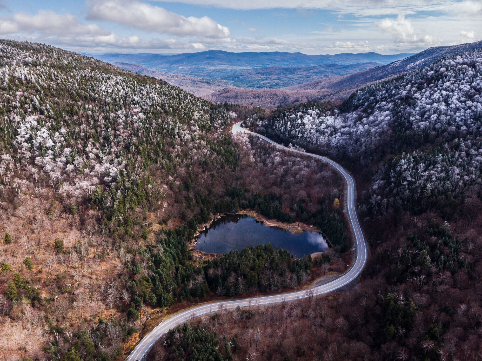
1. Smugglers Notch, Scenic Route 108 – Stowe and Cambridge
It’s not just a name – this narrow pass through the Green Mountains was used by smugglers and fugitives since the days when it was just a footpath and a trail for horses. After the 1807 embargo act forbidding American trade with Canada, the path was used to illegally trade goods. During the American Civil War, formerly enslaved people used the Notch to escape into Canada, and during the Prohibition period, smugglers used it to move moonshine. Today, the 1,000-foot cliffs that surround the road as it wraps around Vermont’s highest peak are part of Smugglers’ Notch State Park, offering hiking, rock climbing, cycling, and more. Route 108 connects historic downtown Stowe with Cambridge and Jeffersonville on the other side of Mount Mansfield. It closes seasonally, typically from November through May.
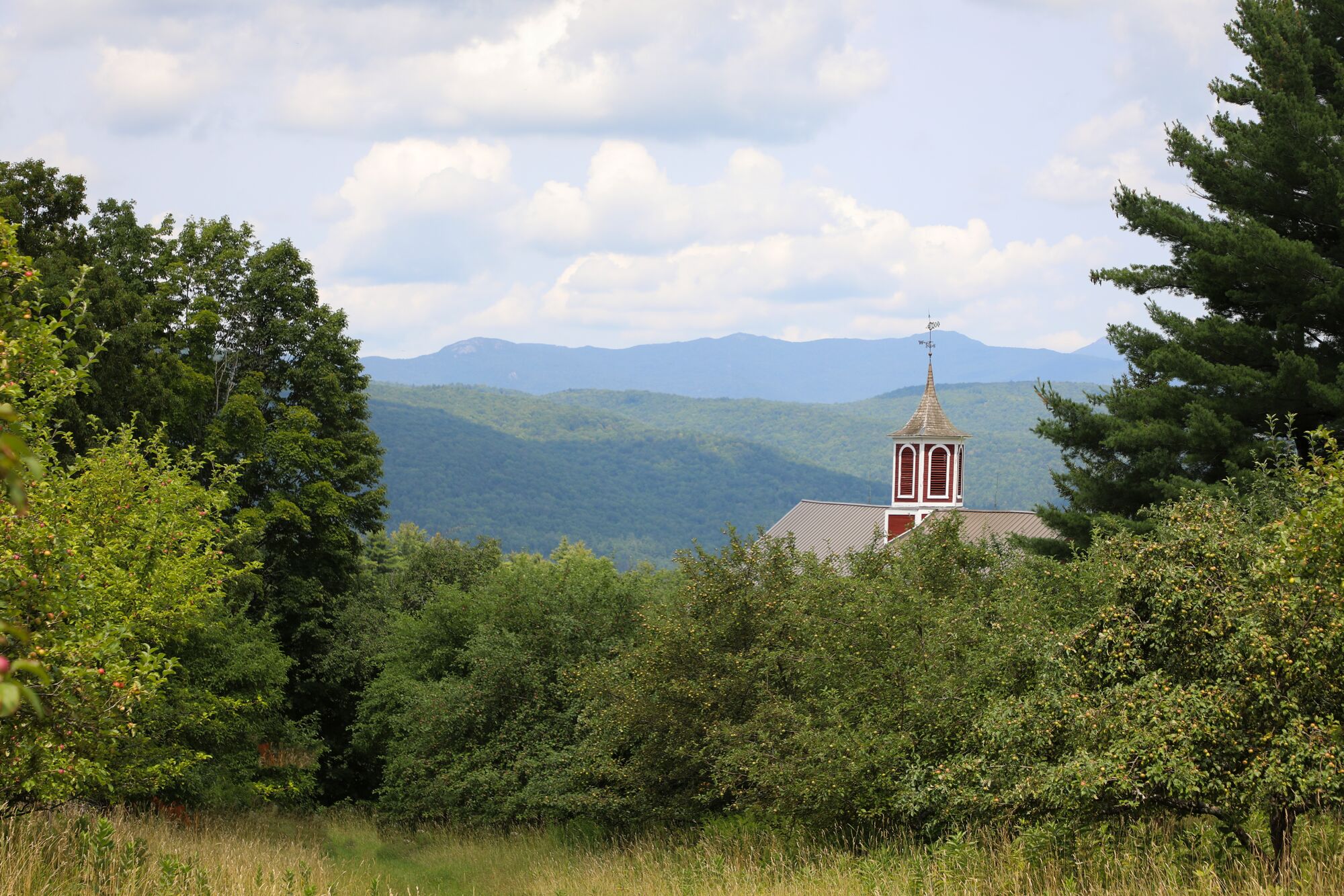
2. Hazen’s Notch Road – Westfield and Montgomery
This mountain pass road was built by American Revolution soldiers as part of their attempt to reach and invade Montreal. It’s now home to an undeveloped state park and the 273-acre Hazen’s Notch Natural Area, where you can find great hunting, hiking, and birdwatching, and in the winter, snowshoeing, cross-country skiing, and more. Hazen’s Notch Road closes from December to April and is not paved throughout, so the road can be bumpy, but a drive yields beautiful views of Jay Peak and its surrounding area, as well as sugarhouses tucked into the woods, seasonal foliage, and apple trees. The road also accesses Vermont’s Long Trail, the oldest end-to-end hiking trail in the U.S.
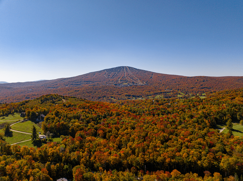
3. Appalachian Gap – Buel’s Gore
The App Gap, as it’s called locally, is a pass through the Green Mountains near Camel’s Hump, one of Vermont’s five mountains taller than 4,000 feet. Located along Route 17 in Buel’s Gore, the road passes next to Stark Mountain before its dizzying descent into Starksboro. At 2,369 feet, the pass offers scenic overlooks and winding turns for cycling and motorcycle riding, as well as hiking, with the Long Trail crossing the road. Nearby is Vermont’s Mad River Valley. While this road doesn’t close seasonally, it can be tricky to traverse in the winter.
4. Lincoln Gap Road – Lincoln and Warren
The Lincoln Gap Road is the highest vehicle-accessible road in Vermont and the steepest paved mile in the U.S., climbing about 1,800 feet to connect the towns of Lincoln and Warren. Paved on the Warren side and dirt on the Lincoln side, with the dividing line at the top, the road is narrow and twisty. There are general stores on both sides of the road and on the Warren end, the Mad River Valley is home to great local dining and shopping. On the Lincoln side, cool off at Bartlett Falls, a popular series of swimming holes.
5. Putney Mountain Road – Newfane
This road between Newfane and Dummerston and Putney can be an adventure even in the summer as the gravel road is steep in places, and in the winter, it closes for the season. Wrapping around and near the road is a trail network along Putney Road, offering a big visual payoff for its elevation, comparatively short at 404 feet. In downtown Putney, discover Santa’s Land, a holiday theme park dating to the 1950s open from spring through fall and scenic local mountain biking loops accessible from downtown.
6. Kelley Stand Road – Sunderland to Stratton
This crowd-favorite dirt road passes from East Arlington to Stratton. Its southern Vermont location has earned it the nickname “Gateway to the Green Mountains,” ending at Route 100. The road originally served settlements and logging camps in the 19th century, and 19th-century senator Daniel Webster spoke out against slavery to 1,600 people there in 1840 (look for the green historic marker to find the exact spot.) Kelley Stand Road, closed during winter, passes through the Green Mountain National Forest and near the small beach at Grout Pond, affording opportunities for swimming, biking, hiking, paddling, fishing, and more. Both the Appalachian and Long trails cross Kelley Stand Road, too.
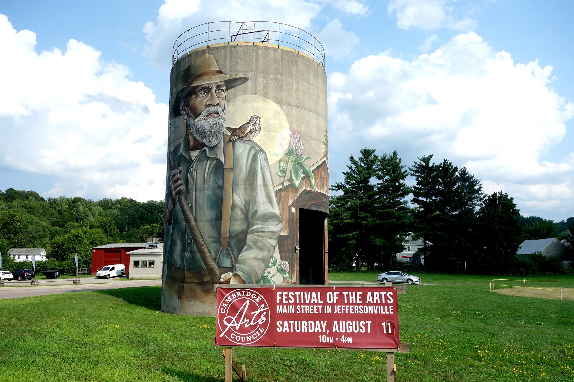
7. Waterville Mountain Road – Bakersfield and Waterville
This northern Vermont seasonal road, closed during the winter, passes next to plenty of trailheads, offering lots of opportunity to take in waterfalls and scenic views. Nearby, the Lamoille Valley Rail Trail is the longest in New England, stitching 18 communities together across 95 miles. Jeffersonville and Cambridge offer local dining, a distillery, beautiful locally painted murals, and more.
Many of Vermont’s roads are managed by individual towns, so if in doubt about whether a route is open, travelers can check with towns individually.