Scenic Drives
Hundreds of Miles of Views
Drive through Scenic Vermont
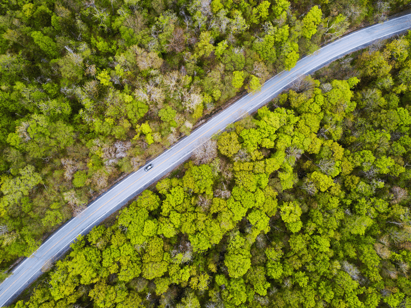
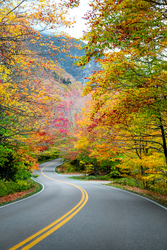
Vermont’s classic New England scenic routes are the meandering kind, taking drivers through historic downtowns and past bucolic farmlands. With plenty of places to stop along the way, including general stores, farm stands, and classic covered bridges, there’s much to discover. Gaps and mountain passes, with their winding curves and long-range scenery, wow at every turn. Vermont’s auto toll roads, lead right to the top of some of Vermont’s highest peaks, making summit views accessible by car. Byways and back roads are some of the best ways to explore the state.
Federally Designated
Vermont Scenic Byways
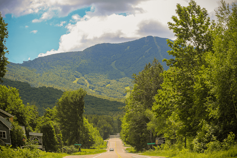
The best way to travel the state is by touring roads that meander through mountains and meet in valleys. Colorful routes connect historic downtowns and farms. Vermont’s 10 federally designated scenic byways range in length from 14 miles to 400; tour by car, motorcycle, or bicycle to discover trailheads, waterfalls, museums, boutiques, and more.
Mountain Passes and Auto Toll Roads
Gap roads wind through mountain passes, showcasing some of Vermont’s most rugged natural beauty and leading to incredible views at stops along the way. Auto toll roads mean you can see mountain views without ever leaving your car, including from Vermont’s highest peak.
Burke Mountain Toll Road
Take in views of Vermont’s iconic Willoughby Gap from the top of Burke Mountain by driving up the Civilian Conservation Corps-built toll road.
Lincoln Gap
The steepest paved mile in the U.S., the Lincoln Gap is easily accessible from Route 100 and offers a beautiful twisting drive.
Mount Mansfield Auto Toll Road
The views from almost 4,000 feet stretch for miles at the end of the Mount Mansfield Auto Toll Road.
Appalachian Gap
The App Gap winds through Camel’s Hump State Park, providing magnificent views of one of Vermont’s five mountains taller than 4,000 feet.
Mount Ascutney Parkway
See spectacular views of the Connecticut River Valley from 2,800 feet by driving the 3.7 mile hand-built Mount Ascutney Parkway.
Smugglers Notch
Scenic Route 108 leads through Smugglers Notch State Park in the heart of Mount Mansfield.
Equinox Skyline Drive
A scenic drive to the summit of the highest peak in the Taconic range.
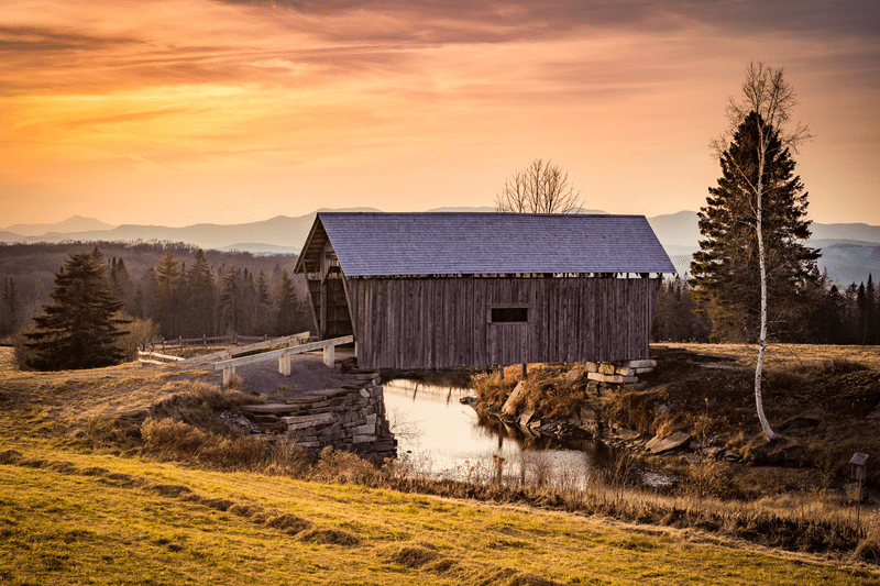
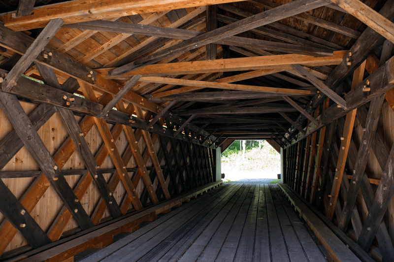
Vermont Has Bridges Covered
Covered Bridges in Vermont
The covered bridges of the Green Mountains star on postcards, on social media and in stories about our state for a reason – they’re beautiful, historic and unique. Vermont is home to 100 covered bridges dating from 1820, boasting more covered bridges per square mile than any other U.S state.
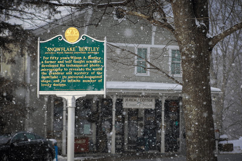
The Stories of Vermont’s History
Roadside Markers in Vermont
Vermont’s 315 roadside markers, visible statewide, tell the stories of famous Vermonters, iconic places, and historic events. Pull over when you see a green sign to read about battles that happened on Vermont soil, the first person ever to photograph a snowflake, and stories that illuminate the buildings you pass.
Cruise Vermont on Two Wheels
Motorcycle Touring
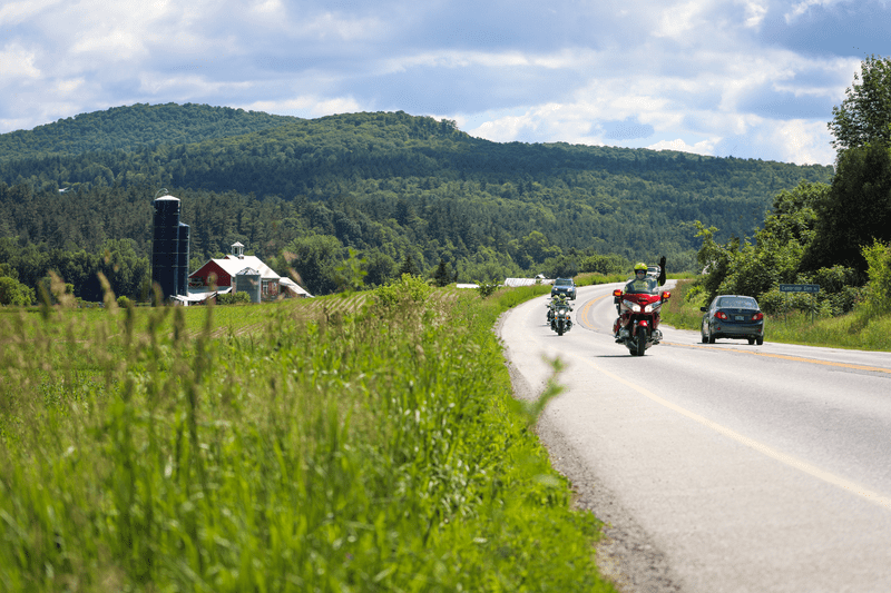
Motorcycle riders will discover thrilling curves that cradle lakes and wrap around mountains leading past bucolic farms and through historic downtowns. Some of the best routes? The 200-mile Green Mountain Byway runs through the center of Vermont from north to south, with views and places to stop aplenty. The gently curving Route 5 hugs Lake Willoughby, Vermont’s deepest lake, whose skyline is defined by the rugged mounts Pisgah and Hor, affording riders plenty to see along the way. The Lake Champlain Byway’s mostly flat terrain takes motorcyclists on a scenic tour of the Champlain Islands, offering a west-coast feel right here in the East. Scenic Route 9, the Molly Stark Byway, is famous for its pleasure cruising, passing historical monuments and other landmarks, including the highest village in Vermont.
Remember, motorcyclists are required by Vermont law to wear helmets.


7 Seasonal Scenic Drives in Vermont
Forget the interstate. The backroads of Vermont offer travelers 360-degree views, centuries-old history, and a beautiful way to slow down.
Read More about 7 Seasonal Scenic Drives in VermontMore Ways to Get Around
Whether you want to visit all 251 of Vermont’s towns and cities, cruise the byways and back roads on a motorcycle, or simply make the most of your road trip experience, Vermont’s welcome centers have maps and trip ideas to help inspire your travels.
Stay Safe Out There
Safe Driving Tips for Vermont’s Roads
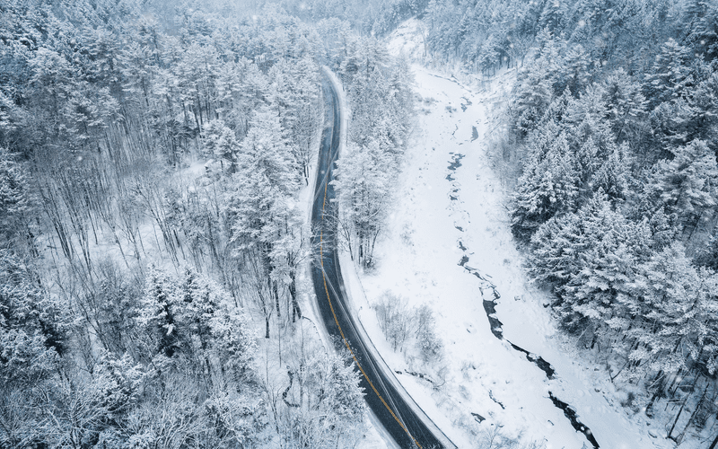
Vermont’s roads are beautiful, and part of that beauty is how quickly conditions can change. In the winter, some mountain passes and gap roads close for the season. Some dirt roads are considered Class 4, which means they aren’t maintained in the winter for traffic, whereas roads classed 1-3 are. In the winter, snow tires are strongly recommended, and it’s important never to drive too fast for conditions. As winter melts into spring, “mud season” means many dirt roads are soft and might not be safe to drive on until they solidify. With spotty cell service in parts of the state, your phone’s GPS may not work; order a free paper map as a backup. Vermont is home to hundreds of public electric vehicle charging stations.


Map Out Your Trip
Start planning for a memorable Vermont vacation with a free planning packet, including a road map (perfect for your glove box), an inspiration guide featuring some of the best things to do in the Green Mountain State, and information on scenic byways, food and farms, state parks, and more.
Order Your Guide about Map Out Your Trip